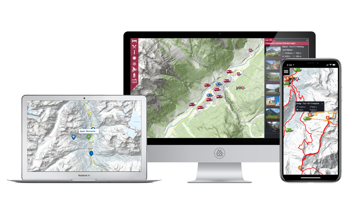
MAPSaaS
INTERMAPS' new customized interactive maps combine state-of-the-art technology with intuitive user guidance and up-to-date information.
The "MAPS as a Service" system is a modular geographic information system that can be put together according to customer needs.
All data is read into the system via standardized interfaces (API) or can easily be administered by an editorial staff.
The MASaaS can be freely assembled according to requirements.
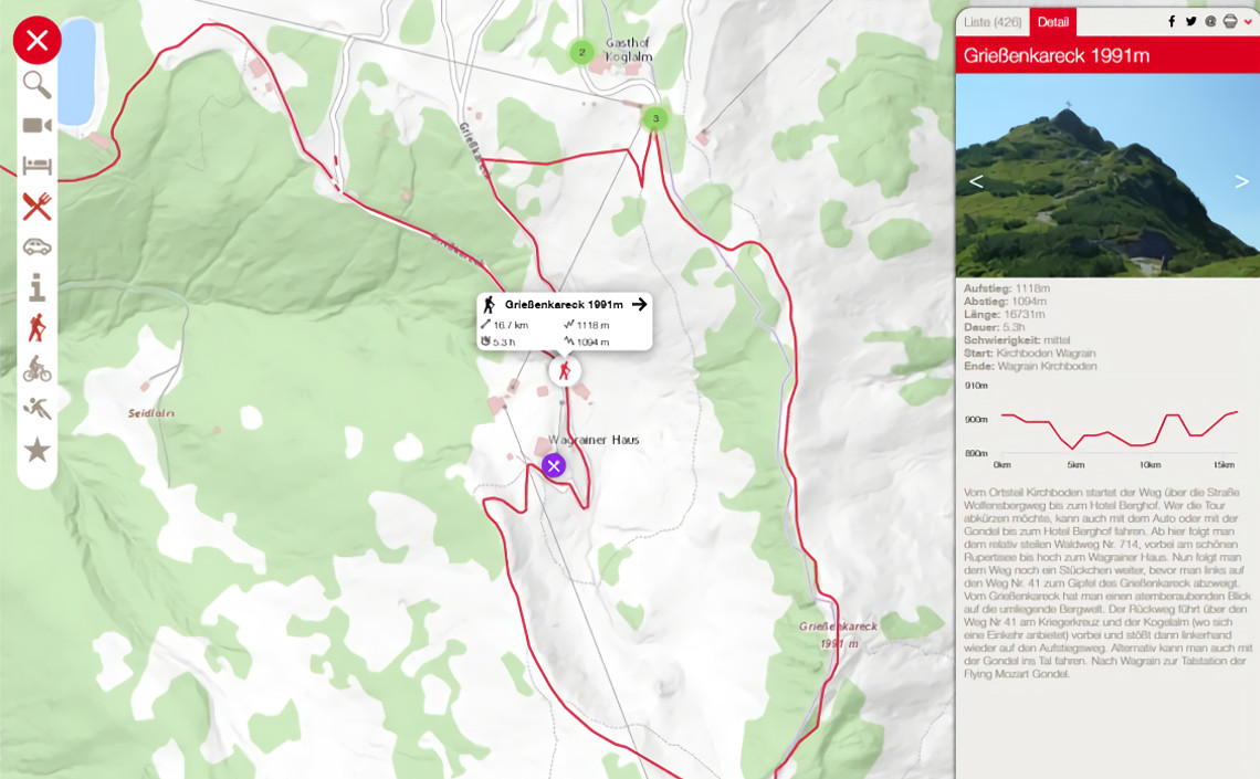
The presentation of result lists, surrounding radar, offers, ... in the summer, winter or by individual design according to your needs all at a fixed price.
Featured Projects